


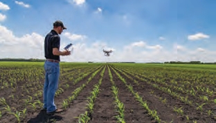
Step 1 Plan
This is essential for aligning our professional services to your requirements that comprises a mixture of activities that take place on site or remotely.
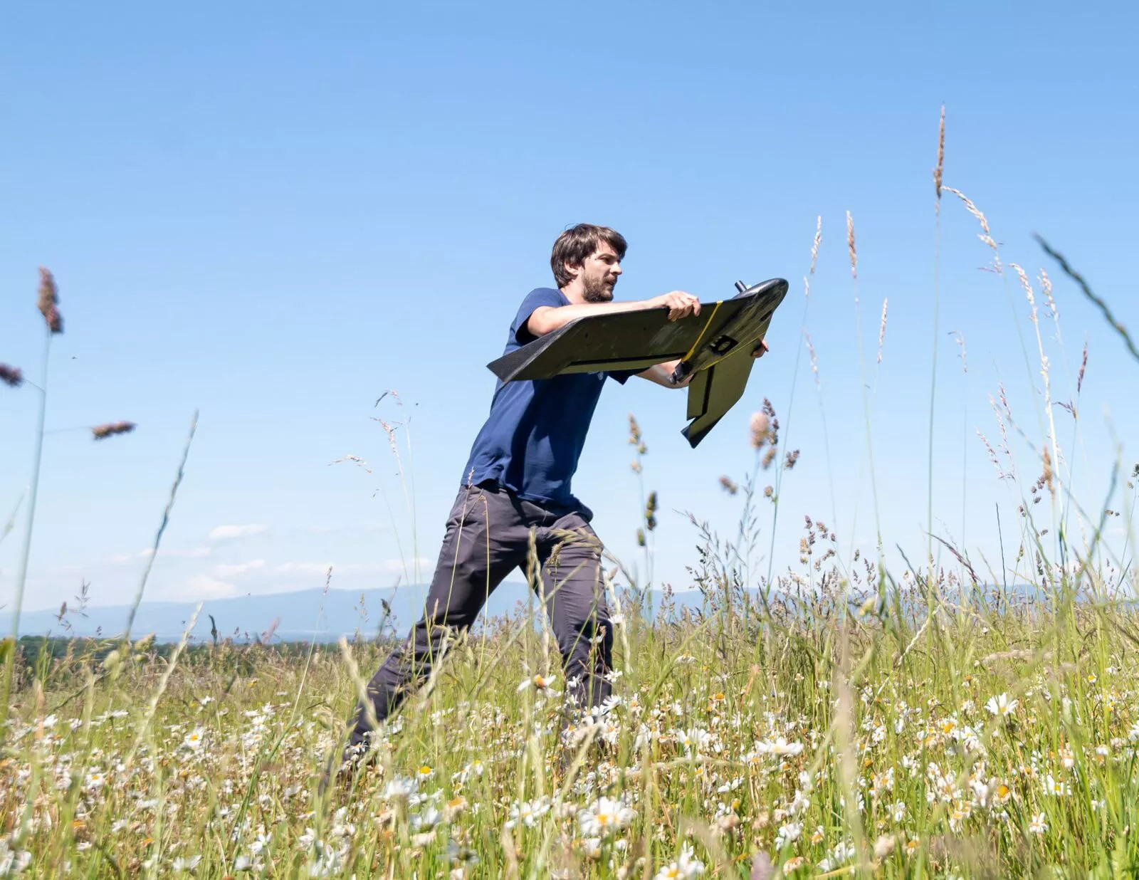
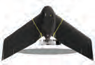
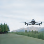
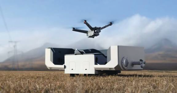
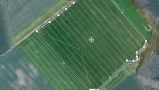
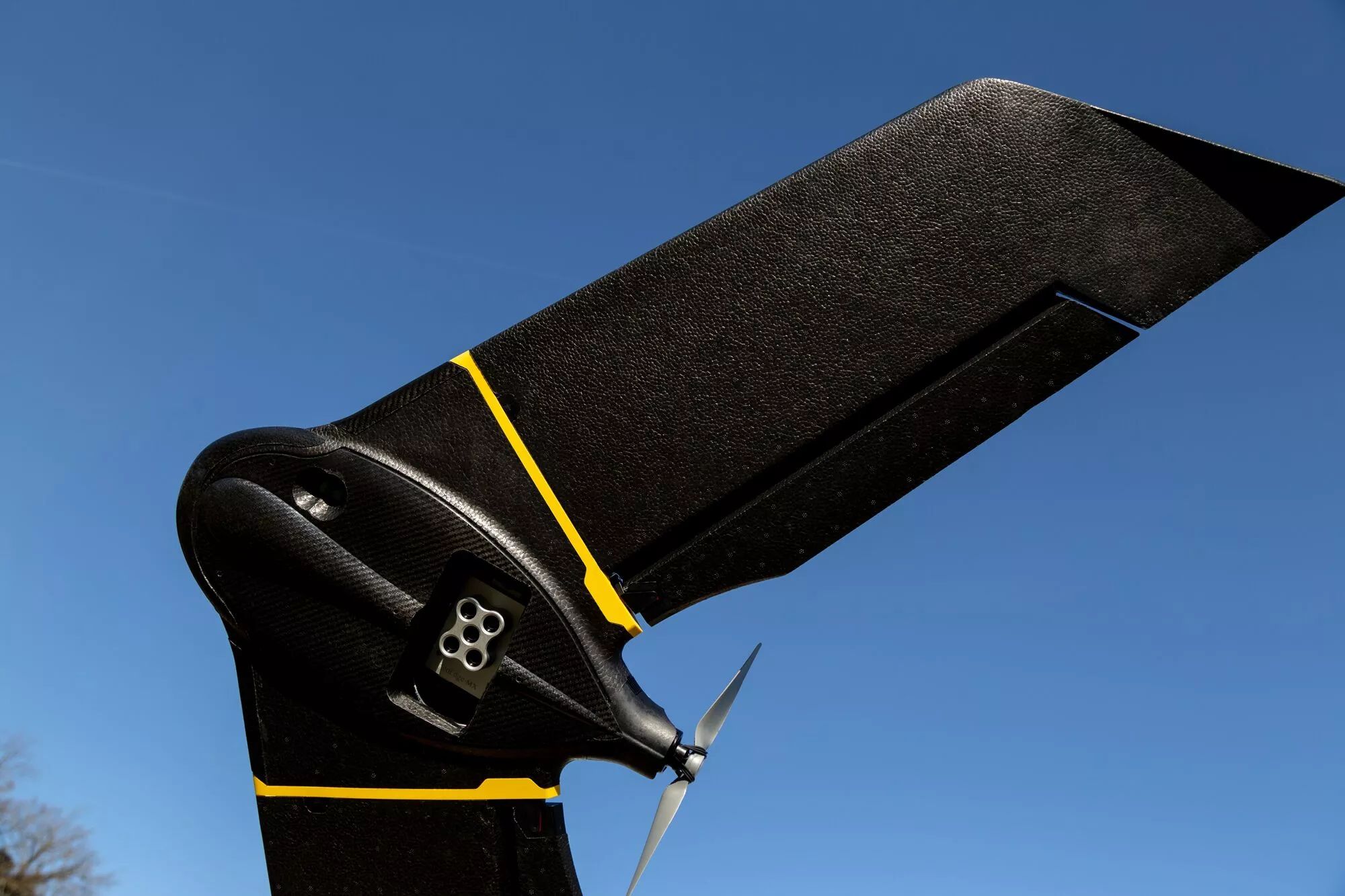
Step 2 Deploy
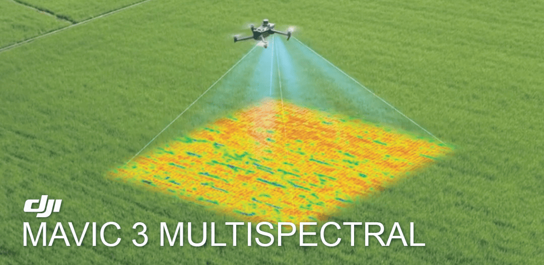
Drones are deployed as per the flight plan using the camera or payload appropriate for the mission using the right software and survey grid for accurate filming or photography.
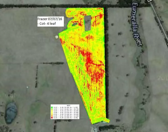
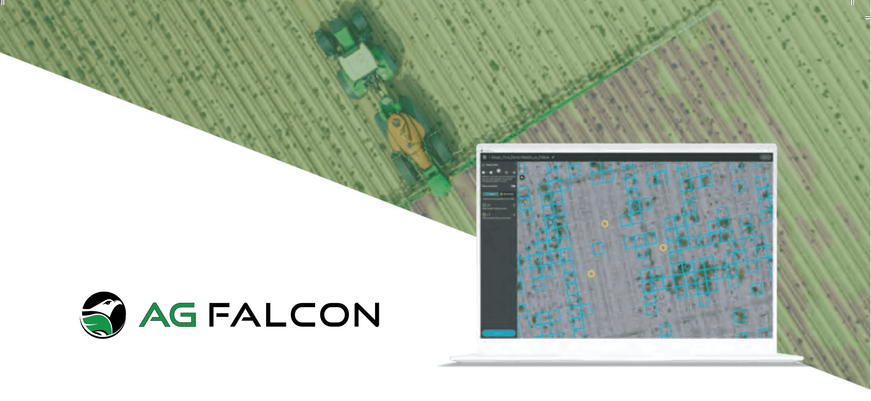
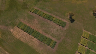
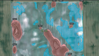
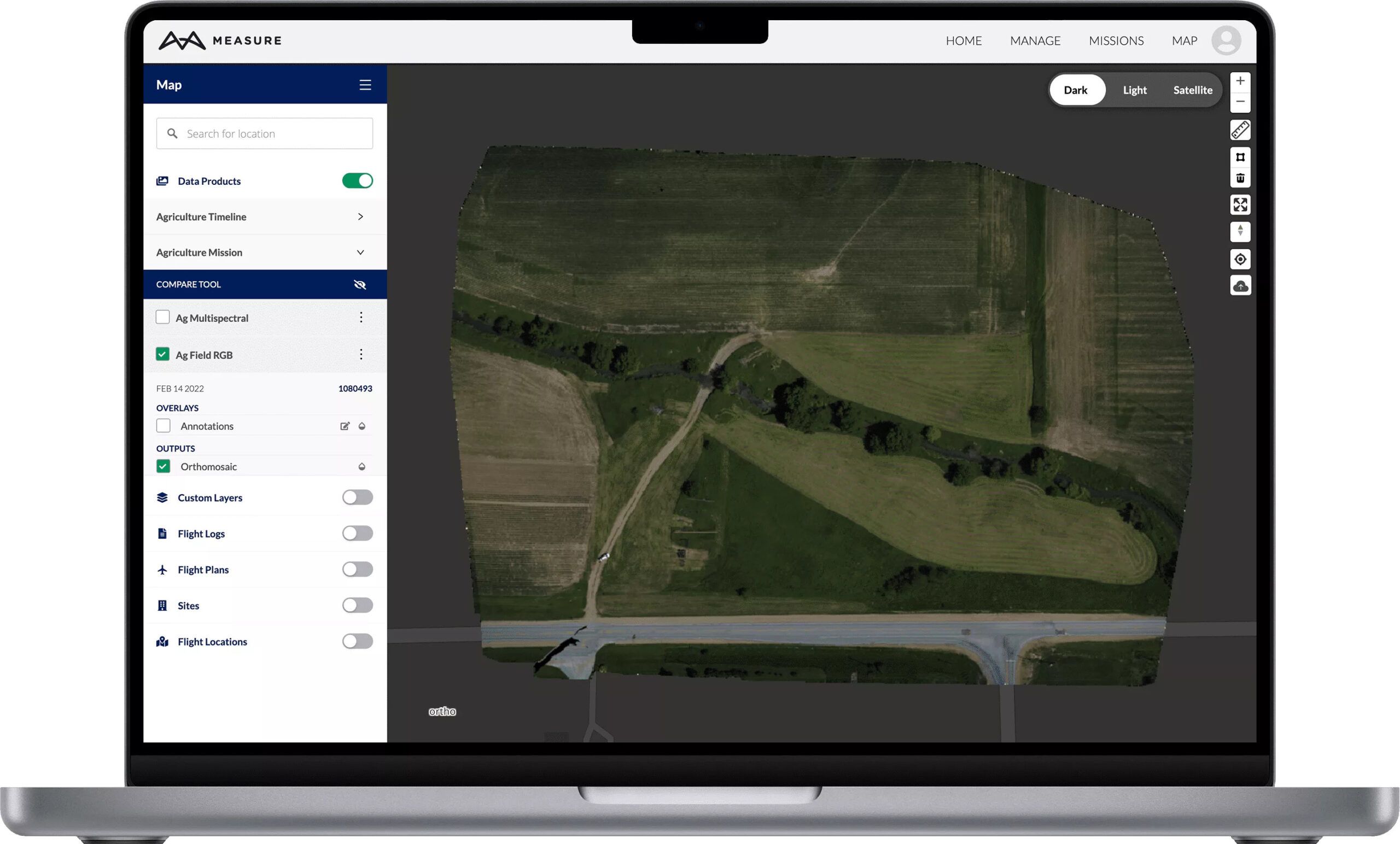
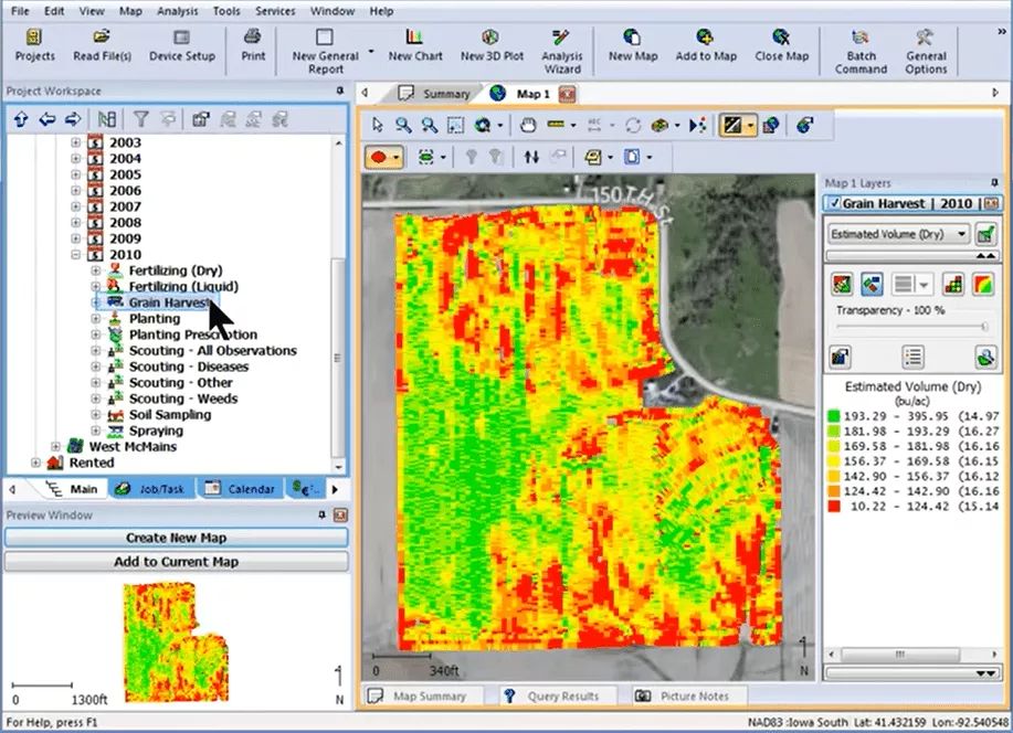
Step 3 Report
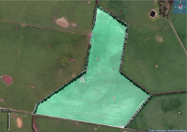
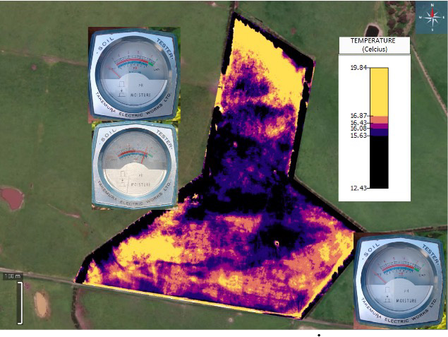
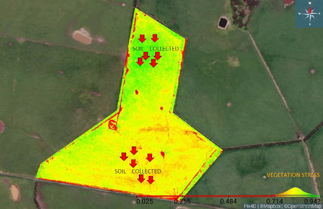
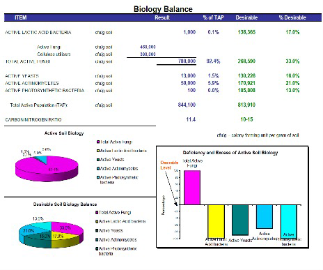
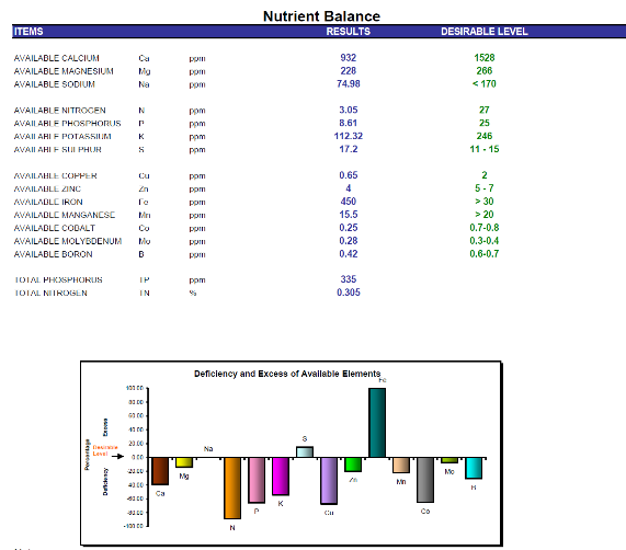
Here is where the processing and stitching of the images and video footage captured via the drones is processed and converted to data you can use to make informed decisions and take action on.
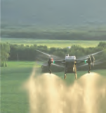
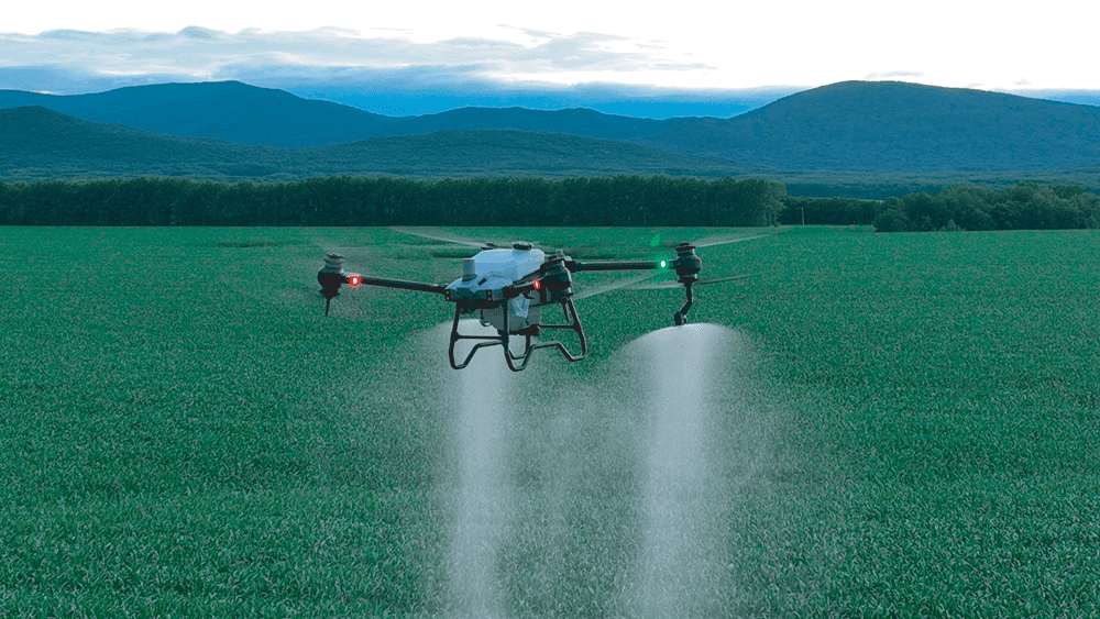
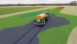
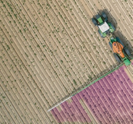
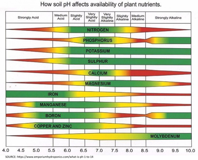
Step 4 Treat
Precise application of the desired or prescribed solution takes place.
Step 5 Repeat
Drones are deployed as per the flight plan using the camera or payload appropriate for the mission using the right software and survey grid for accurate filming or photography.
